
SCROLL TO EXPLORE
Powering the biggest names in mining


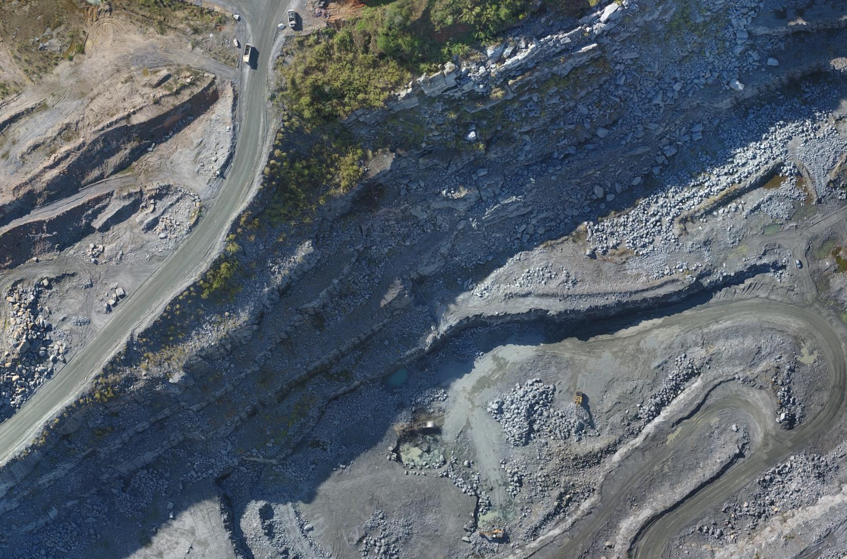
Full visibility of your mine.
Smarter decisions.
Centralize mapping, volumetric and inspection data on a single platform. Track every detail of your operation, catch issues before they turn into costs and boost productivity.
Manage stockpiles with precision
Calculate stockpile, pit and dam volumes with high precision to optimize inventory control and cut operational costs.

Monitor areas on a regular cadence
Track your mining areas with recurring surveys, spotting changes in near real time for tighter operational control.
Compare maps with ease
Analyze maps and 3D models from different periods to identify changes, validate operations and ensure plan compliance.

Inspect safely
Run inspections in high-risk areas with drones — surface hazards without exposing your team and prevent accidents.

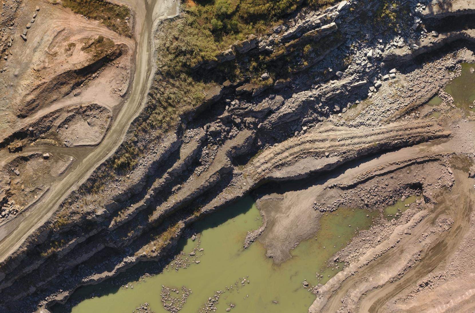
Monitor tailings dams efficiently
Track tailings dams with detailed surveys, detecting changes and anticipating potential risks.

Manage environmental compliance
Monitor protected areas, detect changes and ensure compliance with environmental regulations through periodic surveys.

Build custom reports
Build detailed reports with annotations, measurements and comparisons — ready to export and share with stakeholders.
Do campo para a análise em
três passos simples
Nossa plataforma simplifica o processo de captura, processamento e análise de dados geoespaciais
Capture imagery of the mine
Plan and run autonomous flights with the Maply Mission Planner app. Set altitude, overlap and areas of interest to capture high-resolution imagery (1 cm/pixel) of pits, dams and stockpiles — safely and efficiently.
Upload to the cloud and generate maps and models
Upload the captured imagery to the Maply web platform. Our cloud processing turns the data into 2D maps, 3D models and precise volumetric calculations, ready for operational analysis and planning.
Visualize, analyze and collaborate
View maps and 3D models of your mining areas. Share data with geology, safety and planning teams, track production progress, inspect dams and generate reports for regulatory compliance — all on one collaborative platform.
Transform how you run your mining operation
See how Maply transforms stockpile, dam and safety monitoring with drone-based mapping.